
TL;DR

Get business pricing on networking and server gear
- Business-only prices and quantity discounts
- Tax-exempt purchasing
- Multiple users, one account, clear invoices
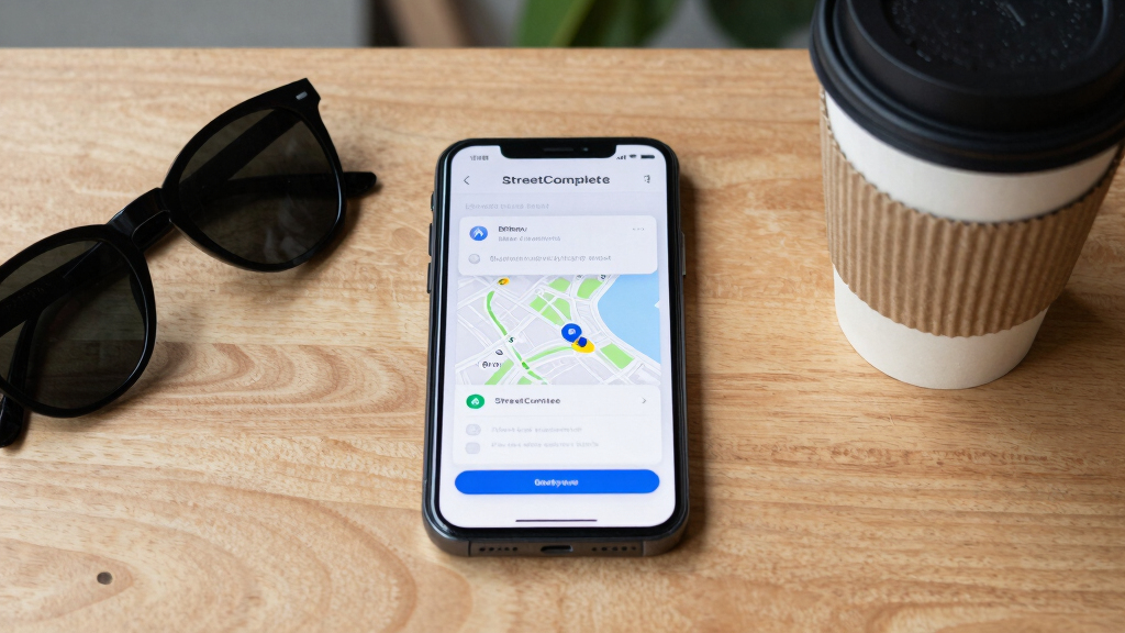
StreetComplete is a mobile application that enables users to contribute small, targeted updates to OpenStreetMap. It simplifies editing by guiding users through quick quests, improving map data accuracy. The app’s approach is gaining popularity among casual mappers and volunteers.
StreetComplete, a mobile app designed to facilitate small, targeted contributions to OpenStreetMap, has seen increasing adoption among volunteers seeking to improve map accuracy through simple, guided quests. This development is significant because it lowers the barrier for casual contributors and enhances data quality across the platform.
The app presents users with brief, specific questions—called quests—about map features, such as the presence of bike lanes, street names, or public amenities. These quests are designed to be completed quickly, making it accessible for users with limited time or mapping experience.
Developed by a team of open-source enthusiasts, StreetComplete has gained traction since its initial release, with thousands of downloads and active users contributing data updates across various regions. The app integrates seamlessly with OpenStreetMap, allowing users to verify existing data or add new information based on real-world observations.
Impact of Tiny Quests on Map Data Quality
This approach matters because it democratizes map editing, enabling a broader community of contributors to participate in improving global map data. As a result, OpenStreetMap benefits from more frequent, localized updates, which can be crucial for navigation, urban planning, disaster response, and humanitarian efforts. The simplicity of the quests encourages participation from casual users who might otherwise be discouraged by traditional editing tools.
As an affiliate, we earn on qualifying purchases.
OpenStreetMap’s Growing Need for Community-Driven Data Updates
OpenStreetMap (OSM) is a collaborative project that relies on volunteers worldwide to update and maintain map data. Despite its success, keeping the map current and accurate remains a challenge due to the scale and variability of contributors’ efforts. Traditional editing tools can be complex, limiting participation to experienced mappers.
In recent years, tools like StreetComplete have emerged to address this gap by providing simple interfaces for quick edits. The app’s rise reflects a broader trend toward leveraging mobile technology and gamification to increase volunteer engagement in open data projects.
“Our goal was to make contributing to OpenStreetMap as easy as answering a few questions. Small, manageable tasks can add up to significant improvements.”
— Alex Smith, developer of StreetComplete
As an affiliate, we earn on qualifying purchases.
Uncertainties About Long-Term Data Accuracy and Engagement
It is not yet clear how sustainable the current user engagement levels will be over time or whether the quality of contributions will match that of more traditional, expert-led edits. Additionally, the long-term impact of millions of small edits on overall map accuracy remains to be fully evaluated.
As an affiliate, we earn on qualifying purchases.
Future Developments in Crowdsourced Mapping Tools
Developers plan to expand StreetComplete’s features, including support for more quest types and integration with other mapping platforms. Monitoring how these updates influence user participation and data quality will be key. Further studies are expected to assess the app’s impact on OpenStreetMap’s overall accuracy and coverage.
As an affiliate, we earn on qualifying purchases.
Key Questions
How does StreetComplete make mapping easier?
It presents users with simple questions about map features, which can be answered quickly, removing the complexity of traditional editing tools.
Who can contribute using StreetComplete?
Anyone with a mobile device can participate, making it accessible to casual mappers and volunteers worldwide.
Does this approach improve map accuracy?
Yes, by enabling more frequent, localized updates, it helps keep maps current and reliable, especially in underserved areas.
Are there concerns about data quality?
While small contributions are valuable, the long-term accuracy depends on community monitoring and validation of edits.
Source: hn
Halloween Picks
halloween
As an affiliate, we earn on qualifying purchases.